For engineers & asset owners

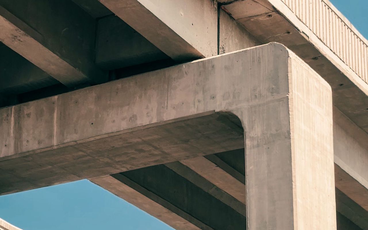
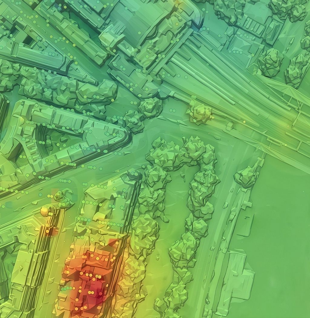
Groundview™ is your asset guardian. It provides you with advanced monitoring of structural displacements and geological deformations to help you proactively manage risks and protect your assets. Groundview™ uses satellite radar to reveal hidden ground and structural movements over time. No specialist expertise required. Ideal for construction, insurance and investment professionals, it turns complex data into clear, actionable dashboards so you can spot risks early, plan proactive interventions and protect your projects and assets with confidence.
What it offers
- Regional Geohazard Contextualization
- Baseline Displacement Validation
- Predictive Maintenance Prioritization Protocol
- Monthly Asset Displacement Rate Reporting (mm/yr)
- Dedicated Geospatial Analyst Support
Reveal movement over time
Groundview uses satellite radar to make hidden ground and structural movement visible in clear, actionable dashboards.
Focus resources where they matter
Validate baseline displacement, review monthly movement rates and prioritise maintenance before isolated signals turn into operational risk.