
Storage facilities, pit slopes and waste dumps
Tailings & Mining
Identify developing ground movement risks around tailings facilities and mining assets.
The problem
Tailings facilities fail slowly before they fail suddenly. Conventional instrumentation covers a handful of points on a structure that moves as a whole, and inspection intervals leave months unobserved.
How we approach it
Satellite radar measures every stable reflector across the facility and its surroundings, building a continuous displacement history. Movement is separated from seasonal noise and read against the structure it sits on.
What you get
- Whole-facility coverage rather than instrumented points
- Rate-change thresholds tied to your escalation procedure
- Documented evidence that stands up in regulatory review
- Historical baseline reconstructed from archive radar
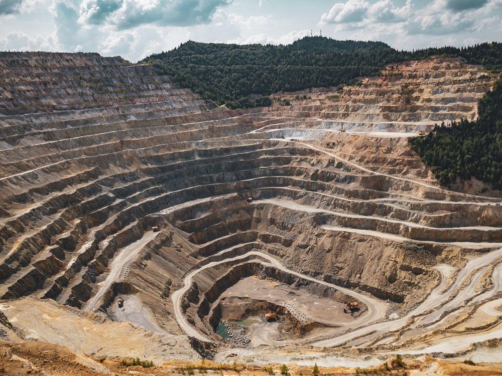
01
Reconstruct the baseline
Years of archive radar are processed before anything new is captured, so the first delivery already shows how the ground has behaved rather than only where it stands today.
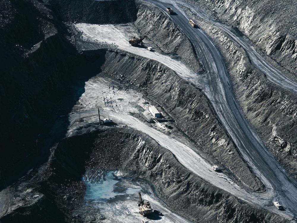
02
Measure every pass
Each new acquisition is processed against the same reference, giving a continuous displacement history for every stable reflector across the asset and its surroundings.
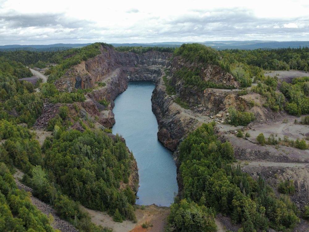
03
Separate signal from season
Seasonal swelling and shrinkage is isolated from persistent movement, so a rate that warrants attention is not confused with ground that returns to where it started.
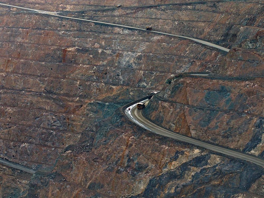
04
Rank and report
Structures are ranked by measured rate against thresholds you set, with the displacement history behind every flag available as evidence.