
Underwriting, accumulation and claims
Insurance & Reinsurance
Evaluate ground movement exposure with objective satellite-derived intelligence.
The problem
Subsidence exposure is usually modelled from soil maps and historical claims. Neither tells you whether a specific address is moving right now, and both are the same data every competitor prices from.
How we approach it
Measured displacement history at address level across a whole book, turning a modelled peril assumption into an observed accumulation view.
What you get
- Address-level exposure from measurement, not inference
- Accumulation analysis for reinsurance submissions
- Independent claims validation from displacement history
- Differentiated pricing on data competitors lack
01
Reconstruct the baseline
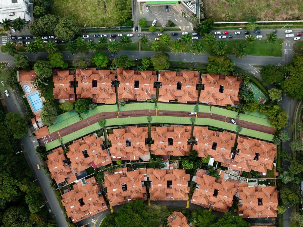
Years of archive radar are processed before anything new is captured, so the first delivery already shows how the ground has behaved rather than only where it stands today.

02
Measure every pass
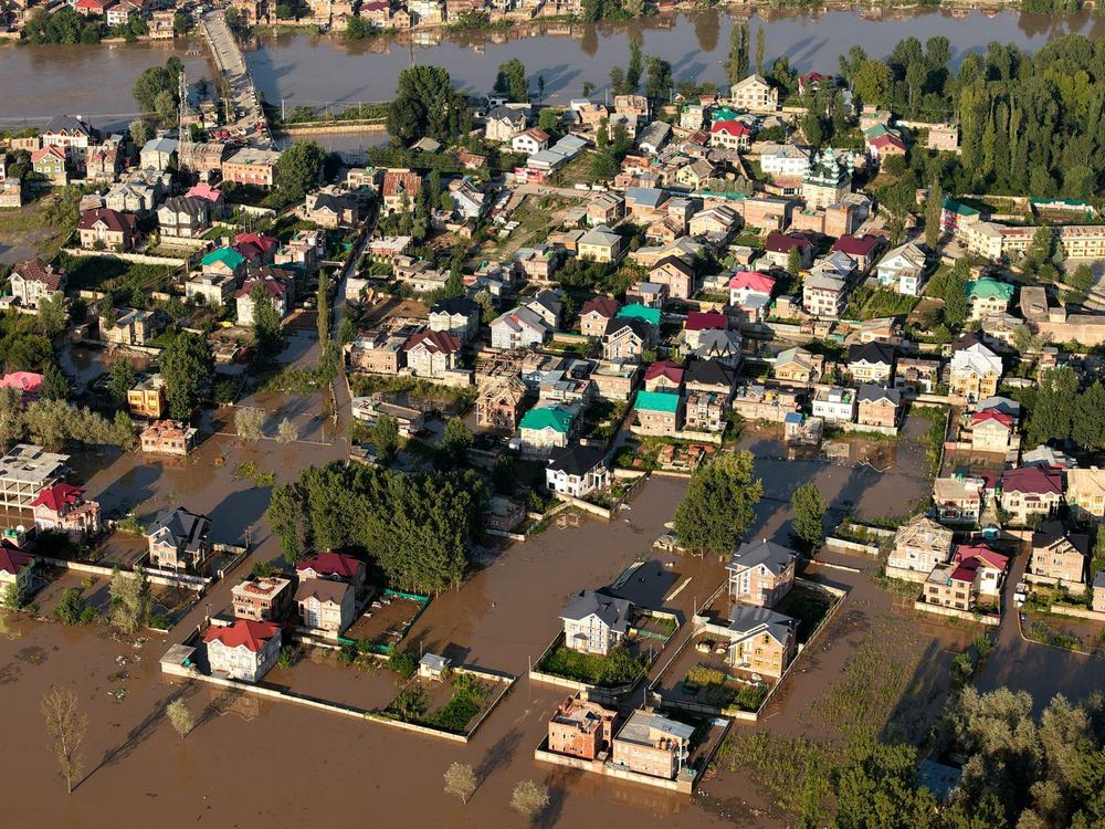
Each new acquisition is processed against the same reference, giving a continuous displacement history for every stable reflector across the asset and its surroundings.
03
Separate signal from season
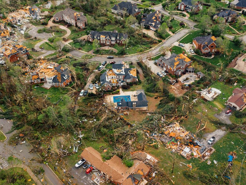
Seasonal swelling and shrinkage is isolated from persistent movement, so a rate that warrants attention is not confused with ground that returns to where it started.
04
Rank and report
Structures are ranked by measured rate against thresholds you set, with the displacement history behind every flag available as evidence.