How we work
Securing Assets and Operations through Geospatial Data
Ratekon integrates precision analytics with strategic risk management to strengthen operational resilience and asset security.
Geospatial Risk Analysis
Geospatial Insights
We transform complex satellite imagery and data into clear, actionable insights for businesses and governments worldwide. Our mission is to empower our clients to make proactive, data-driven decisions that minimize risk, ensure operational continuity, and secure critical investments against both environmental and structural threats. We simplify the complexity of Earth observation so you can focus on managing and growing your assets.
Risk Mitigation
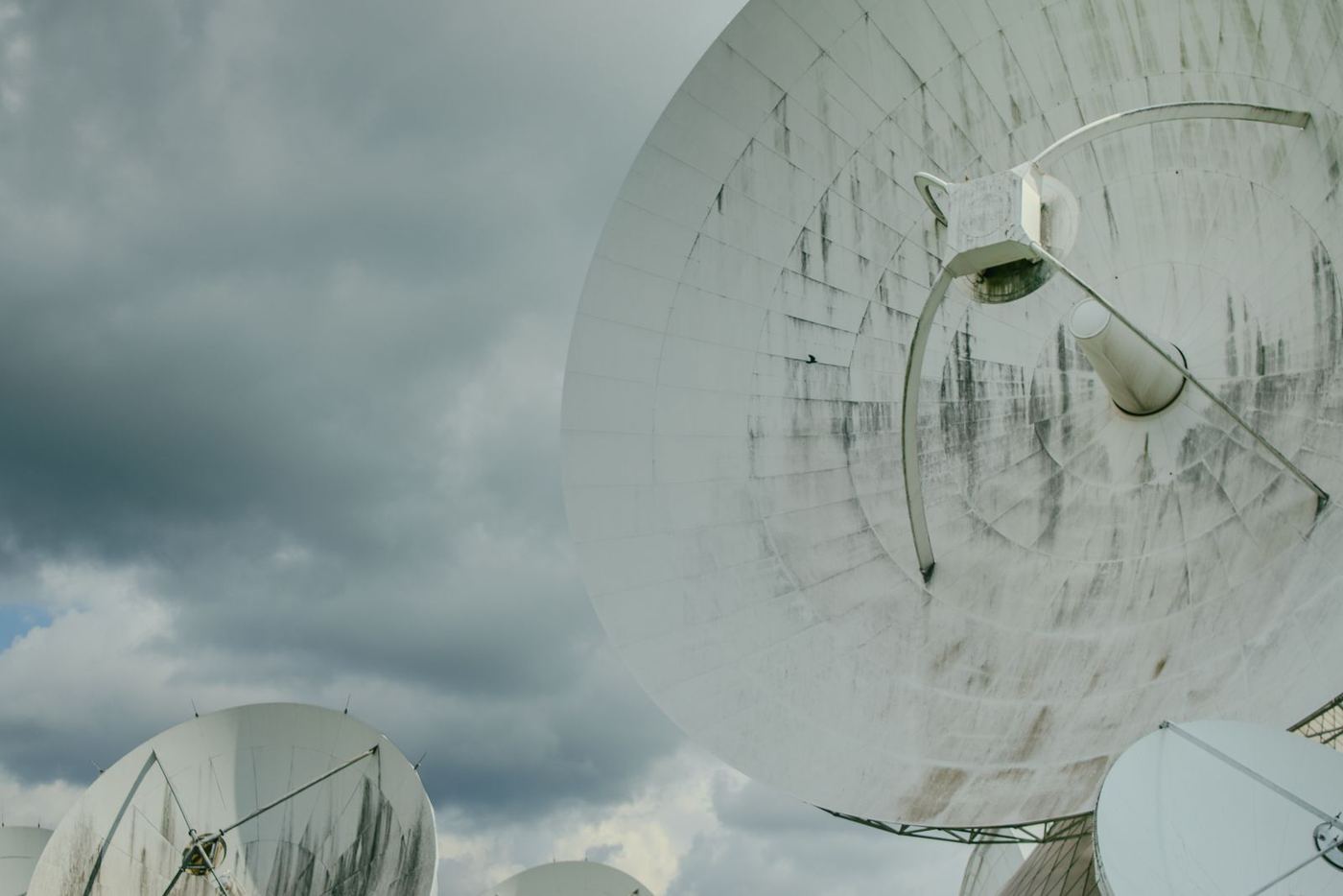
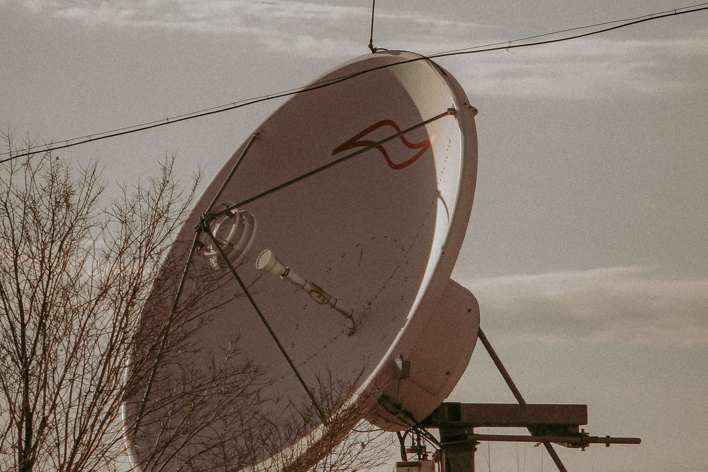
We focus on proactive risk mitigation through early detection of physical change. We apply advanced satellite-based remote sensing to continuously monitor for subtle ground shifts, structural settlement, and infrastructure movement across vast geographical areas. This precise monitoring allows us to identify potential issues, such as pipeline stress or ground instability, long before they become visible or lead to costly operational disruptions.
Predictive Intelligence
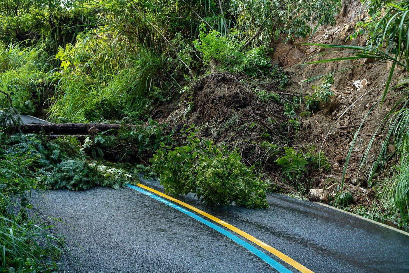
Our proprietary algorithms process historical and current satellite data to model and predict where future risks, like land erosion, subsidence, or the impact of natural disasters, are most likely to occur. This predictive capability is vital for safeguarding capital projects, optimizing real estate portfolios, and ensuring project continuity, allowing your organization to see where future risks could hit next and secure its investments.
Strategic Recommendations
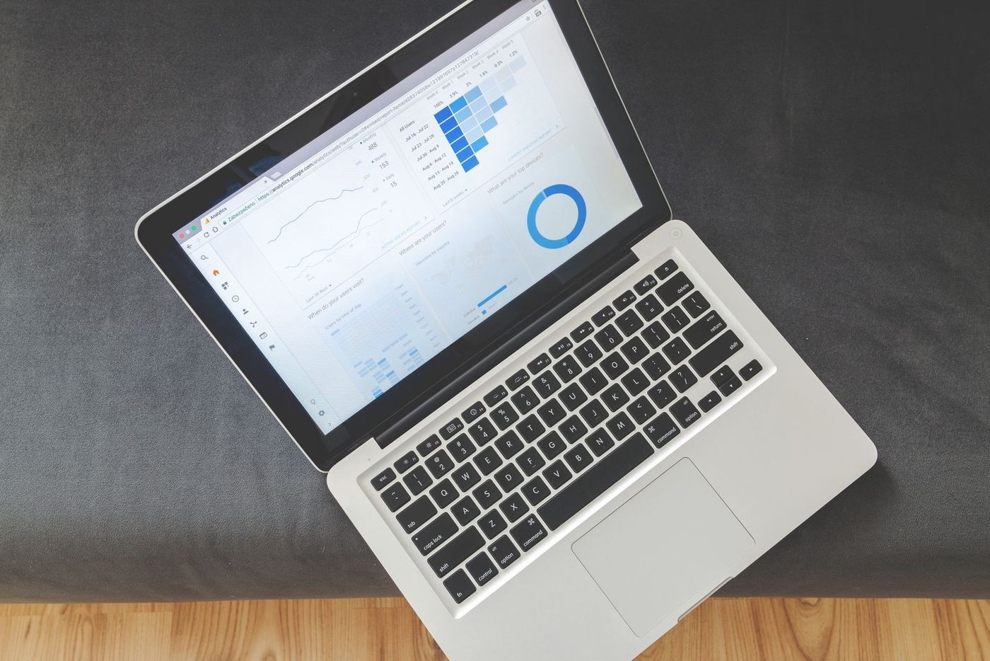
We don’t just deliver raw information. We simplify petabytes of geospatial data into intuitive, industry-specific reports, dashboards, and alerts tailored to your exact operational needs. Whether you are in infrastructure, energy, or construction, we provide the clear, actionable intelligence required to enhance decision-making and drive tangible business value.
Results & Impact
- 80%
- Increase in operational efficiency
- 20+
- Projects successfully completed since 2024
Safety first
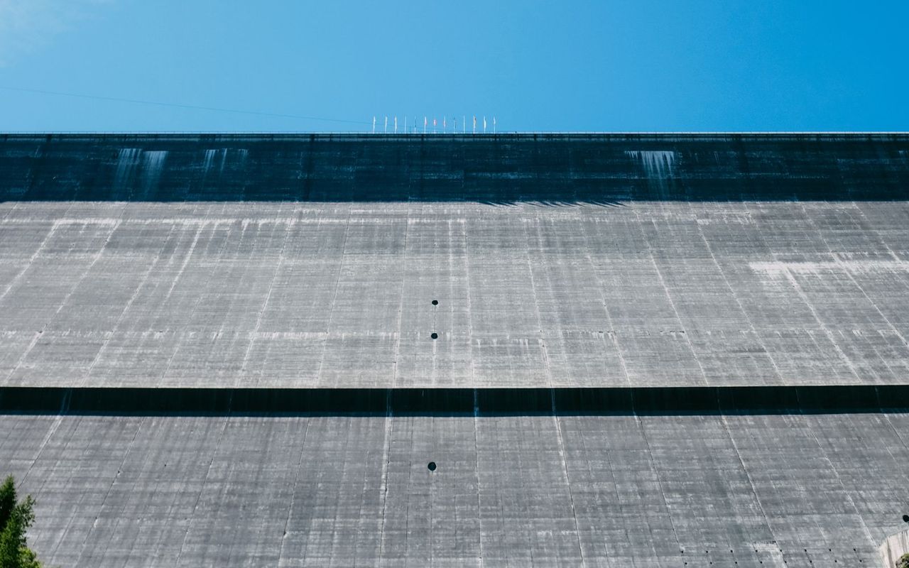
Make resilient, predictive decisions with our advanced geospatial intelligence, providing actionable early warnings that drive smarter, faster, and more effective risk management choices. By leveraging satellite-driven Earth Observation data, InSAR time-series analysis, and sophisticated climate scenario modeling, we help you uncover hidden structural acceleration, anticipate long-term financial risk, and make data-driven decisions that optimize asset integrity and capital allocation in an increasingly complex environment.
From ensuring predictive maintenance protocols to guiding the adoption of comprehensive resilience strategies, we integrate our intelligence directly into your workflow, ensuring a seamless transition from detection to definitive action and delivering measurable improvements in operational continuity and portfolio performance.
The value we deliver
- 80%
- Streamlined processes and expert guidance boost your operational efficiency by 80%, ensuring smoother and faster workflows.
- 60%
- Ratekon replaces costly, time-consuming ground inspections with satellite-based analysis, reducing field survey monitoring time while improving operational efficiency across your asset portfolio.