
Latest from Ratekon
News
 Sinking Land More Than Doubles Sea Level Rise on the World's Most Crowded Coasts
 NASA Satellite Maps Alarming Scale of Mexico City Ground Collapse
 Satellite Radar Used to Map Subsidence Damage Risk Across New York City Transport Network
 Climate Risk Research Points to Trillions in Unpriced Real Estate Exposure
 Study Finds Ground Beneath Major US Cities Is Sinking at Scale That Threatens Infrastructure
Satellite-derived insights
Our solutions
We access data from satellites orbiting Earth continuously about how the ground, buildings, and infrastructure are moving and changing. We process and interpret that data to identify where risks are developing, giving you the intelligence you need to act early, protect your assets, and avoid costly damage before it happens.
Early warning
See movement months before it reaches the surface, and act while the fix is still small.

Predictive intelligence
Turn historical and current satellite observations into an earlier understanding of where risks may develop next.

From detection to remediation
Move from complex Earth observation data to clear recommendations that support practical decisions.
Protect what matters
Protect human and capital assets with an earlier, wider and more complete view of ground movement risk.
Operational & technical advantages
At a glance
Sectors
Built for complex assets
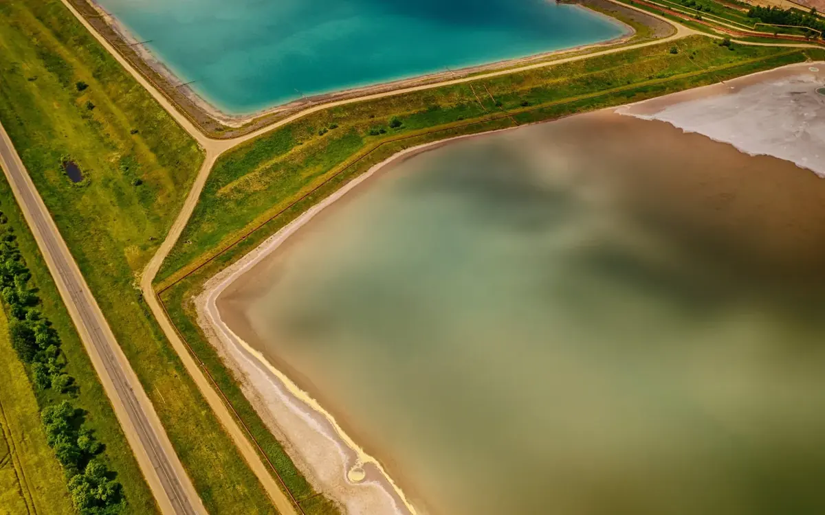
Tailings & Mining
Identify developing ground movement risks around tailings facilities and mining assets.
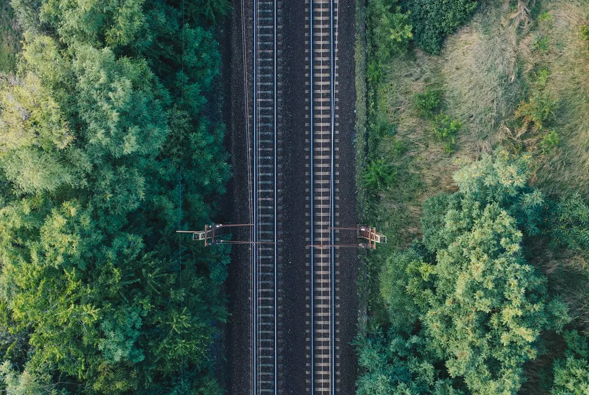
Rail & Road
Monitor corridor-scale movement to support safer, more reliable transport infrastructure.
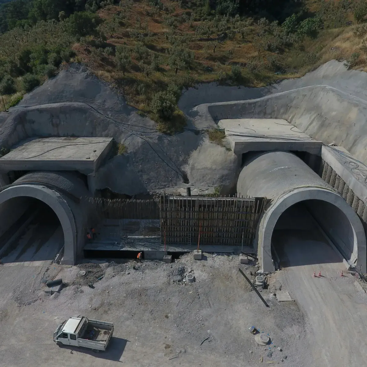
Construction & Tunnelling
Track settlement and deformation before they affect construction and tunnelling projects.
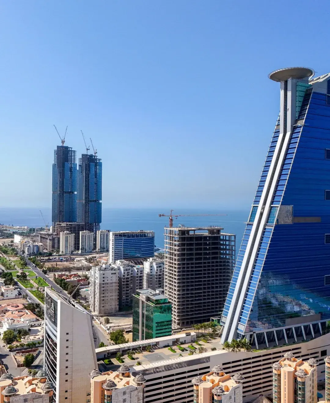
Real Estate
Gain the evidence needed to protect properties and portfolios from ground movement.
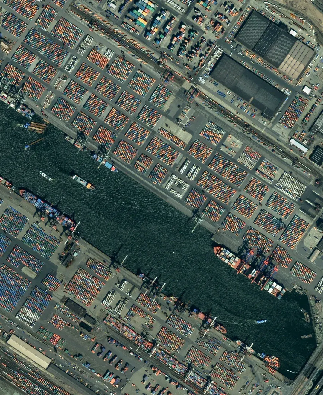
Ports & Reclaimed Land
Understand land movement risk across critical coastal and port infrastructure.
Insurance & Reinsurance
Evaluate ground movement exposure with objective satellite-derived intelligence.
Solution-based examples
Projects
 Dewatering assessment for a power generation facilityA MODFLOW groundwater model established dewatering requirements for works at a power generation site.
- Groundwater modelling for deep excavation dewateringNumerical groundwater modelling established dewatering requirements for deep excavations on a waterfront development.
- Dating structural movement against an adjacent excavationA structure beside an active excavation was moving. Seventeen months of satellite measurement established when the movement began.
Our analysis
Insights
 Why Shrinking Clay Has Become Europe's Most Expensive Quiet HazardEurope's costliest ground-movement hazard is also its least visible: clay soils that swell in the wet and shrink in drought, loading foundations season after season until a wall gives way.
 Landslide Susceptibility: Seeing Slope Instability Before It MovesSlopes creep for years before they fail. Satellite radar measures that creep while it is still millimetres, turning susceptibility from a map of where into a measurement of when.
 Buckled Columns in Midtown Manhattan: Managing Structural-Integrity RiskA structural scare in a Midtown high-rise, and what measuring a building's own movement from orbit tells you that an inspection after the fact cannot.

Image courtesy of EARSC
From insight to action
Partnering for resilience